
Upper Peninsula Realtors
Lake Superior Homes for Sale: Buying on the Keweenaw Shoreline
Lake Superior homes for sale in Houghton, Keweenaw, Baraga, and Ontonagon counties are listed just below. The mix includes year-round homes, seasonal cabins, and vacant land. State Wide Real Estate of Houghton has been in business here since 1980 and helps buyers find waterfront properties. For property away from the big lake, State Wide's guide to Upper Peninsula real estate covers the rest of the market.
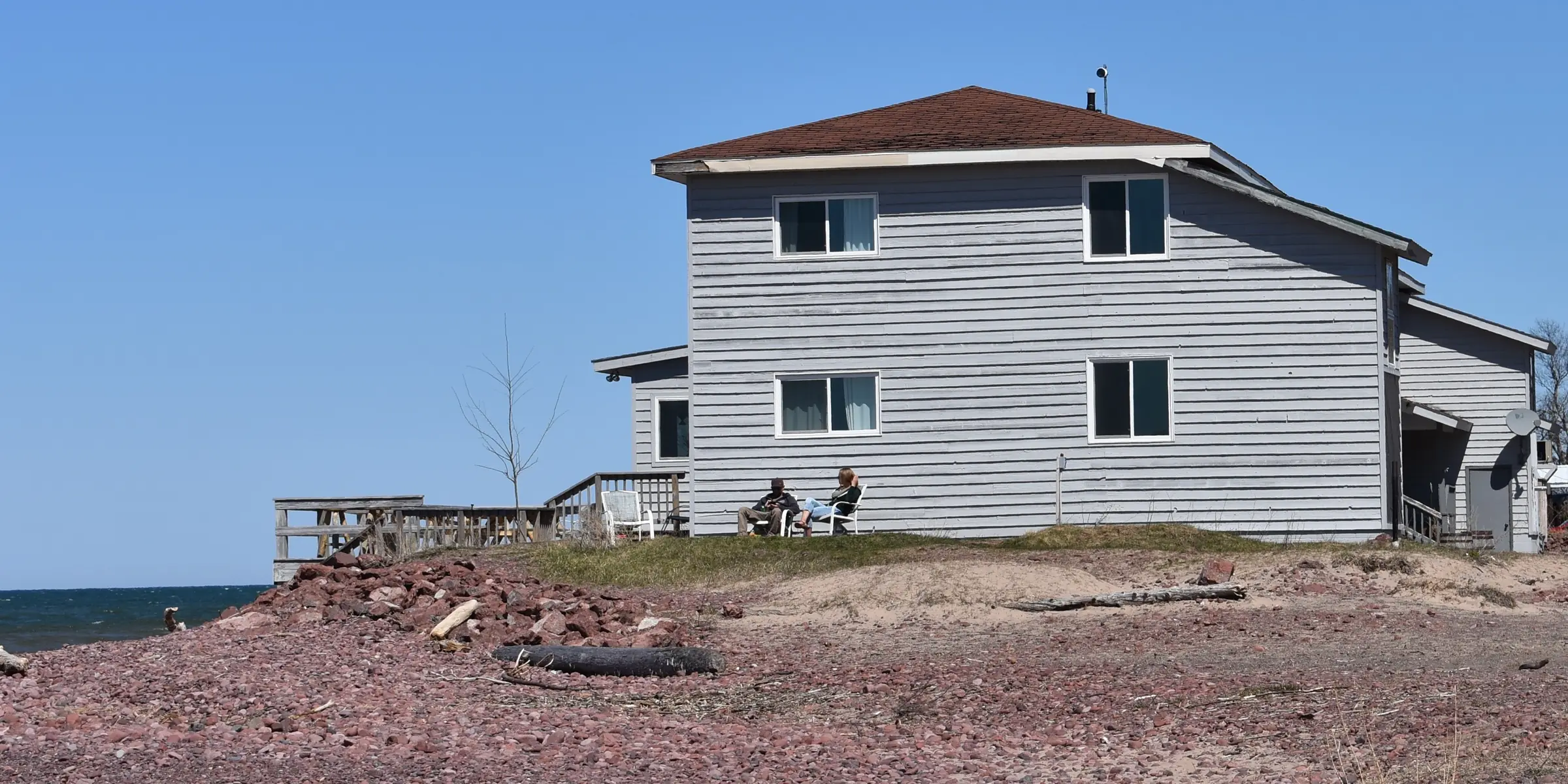
A waterfront home or lot on Lake Superior raises questions that typical inland lake homes don't: erosion rules, water levels, who owns the beach, building on raw land, roads and winter, and where a boat can go.
Sorry, we couldn't find any posts. Please try a different search.
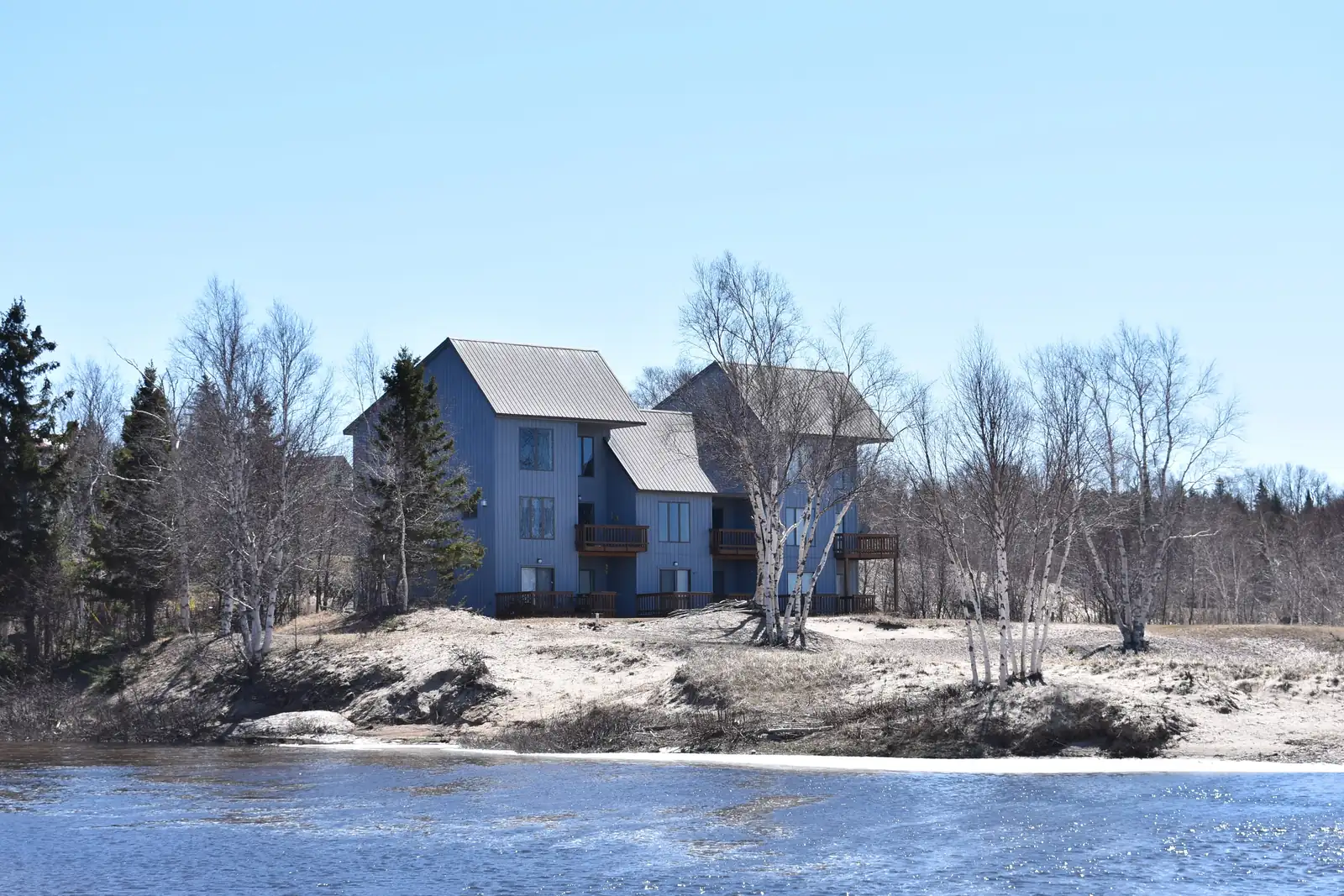
Is the Lake Superior Shoreline Eroding Where You Want to Buy?
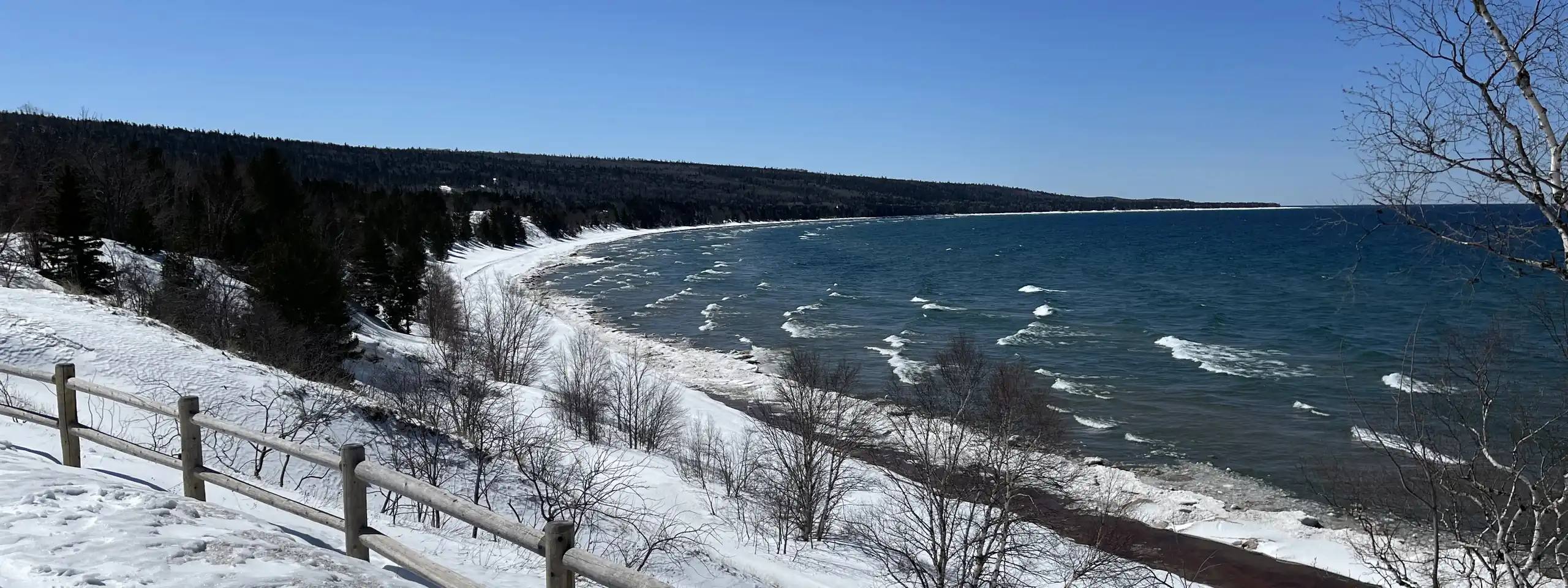
Some stretches of Lake Superior shoreline in Houghton, Keweenaw, and Baraga counties are officially designated as high risk erosion areas, and part of Houghton County was newly designated on July 14, 2026. Building on a designated parcel requires a state permit and a setback from the shoreline.
Michigan's Department of Environment, Great Lakes, and Energy (EGLE) designates shoreline that has receded an average of 1 foot or more a year over at least 15 years, measured from historic and modern aerial photos. Two setbacks from the erosion hazard line apply to new structures there. The 30-year setback is for structures EGLE calls "readily moveable," meaning built to be moved, and 3,500 square feet or less on a basement, crawlspace, or pilings. The 60-year setback applies to larger structures and septic systems.
The Houghton County designation covers six areas in Stanton, Hancock, and Torch Lake townships. Hancock Township's Area E, near McLain State Park and Bear Lake, is receding 3 feet a year, the fastest designated rate in the four counties. Its setbacks are 105 feet for the 30-year line and 195 feet for the 60-year line. The other Houghton County areas recede 1.1 to 1.8 feet a year.
Grant Township and Houghton Township in Keweenaw County also have designated areas, as do Baraga, Arvon, and L'Anse townships in Baraga County, all dating to 2018. The state hasn't designated any Lake Superior shoreline in Ontonagon County.
The state permit is required for building anywhere on a designated parcel, no matter how far from the water, including an addition, a garage, or a replacement septic system. EGLE issues it in all four counties for a fee of $50 to $500. The designation stays with the land when a parcel is split or combined. Michigan's seller disclosure form for homes doesn't ask about an erosion designation. Below is a step-by-step guide to look this up and do your due diligence on the property.
EGLE's erosion area maps page explains how to check a parcel:
- Open the MiEnviro Site Map Explorer.
- Under Map Layers, choose Coastal, then High Risk Erosion Zones. Designated areas show in light green.
- Click the property to see its 30-year and 60-year setbacks.
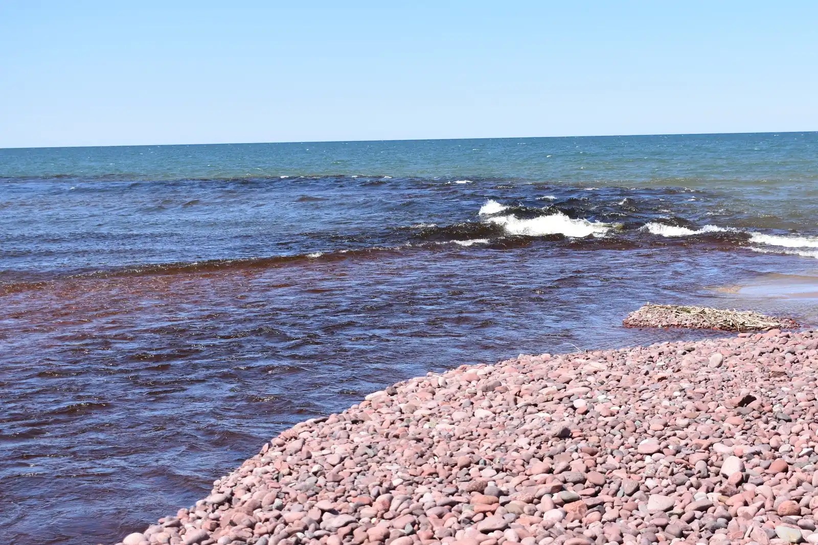
How Much Does Lake Superior's Water Level Change?
Lake Superior typically rises about 1 foot from its spring low around March to its late summer high around August and September. The U.S. Army Corps of Engineers' official record runs from 1918 through 2024. In that record, the highest month (October 1985) and the lowest month (April 1926) sit 3.9 feet apart.
In 2019, the lake's highest month came within about 1 inch of that record high. The lake stayed high through 2020, then pulled back. As of August 2026, the Army Corps reported Lake Superior 1 inch below its long-term August average, and in late September 2026 it sat 3 inches below its long-term September average. The Army Corps also publishes live daily levels.
Michigan law sets Lake Superior's ordinary high water elevation at 602.6 feet, according to EGLE, the state's environmental agency. The Army Corps record shows the lake's yearly average above that line in both 2019 and 2020. Whether the shoreline is a sandy beach or a steep bank, what you see on a showing reflects that year's water.
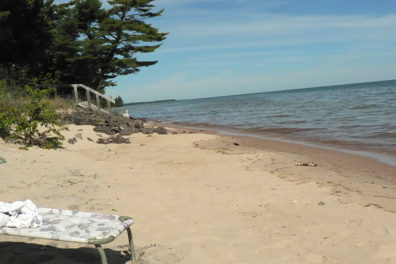
Who Owns the Beach in Front of a Lake Superior Home?
You own your Lake Superior frontage, but in Michigan the public has a right to walk the shoreline below the ordinary high water mark. Building a dock, seawall, or similar structure at or below that mark takes a state permit.
Michigan's environmental agency, EGLE, uses two meanings of the ordinary high water mark. The first is an elevation set by state law, 602.6 feet for Lake Superior, and state permits are tied to it. The second is the natural mark, the line the water leaves on the shore through a change in soil or plants.
A 2005 Michigan Supreme Court ruling says people may walk the Great Lakes shore below the natural high water mark, and the owner still fully owns the frontage. The two marks don't always sit in the same place, and the lake can rise above both.
Filling, dredging, docks, boat lifts, and seawalls below the 602.6-foot line need an EGLE permit and a U.S. Army Corps of Engineers permit. One joint application, filed through the MiEnviro portal, goes to both agencies. EGLE issues the permit only when a project will have no more than a minimal effect on the public, the neighbors, and the environment.
On a parcel in a designated erosion area, one project can need both the erosion permit and this shoreline permit. If you're also weighing an inland lake, State Wide's guide to Upper Peninsula waterfront real estate covers the questions to ask there.
Can You Build on That Lake Superior Lot?
On a Lake Superior lot without municipal sewer or water, whether you can build depends on the health department approving a septic system and a well. The way to find out before you're committed is a site evaluation, with a contingency in your offer that covers the result.
The Western Upper Peninsula Health Department handles septic and well permits for Houghton, Keweenaw, Baraga, and Ontonagon counties. After a Request for Service application, a sanitarian visits the lot. The sanitarian checks the soil and how it drains, the depth to the seasonal high water table, and the slope. Distances to wells, surface water, and lot lines count too, along with the lot's usable area.
Once the site passes, a septic permit and a final inspection follow, and the well goes through its own permit. On a waterfront lot in a designated erosion area, the health department permit comes first, because the state's erosion permit application has to include it for a new or replacement septic system. Septic systems fall under the longer 60-year erosion setback.
Michigan's Seller Disclosure Act covers homes with one to four dwelling units, not vacant land, so your own checks carry more weight. An offer on a waterfront lot can depend on health department approval for a septic system and a well, and on a new survey, which is how you confirm the lot lines and the water frontage. Each of those has a deadline, so the dates matter.
What Are Roads, Wells, and Winter Like on Rural Shoreline Parcels?
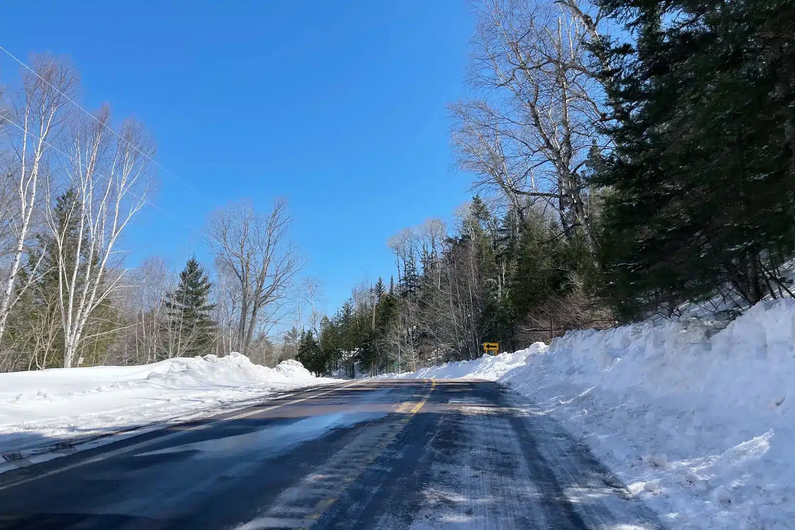
Roads in the Copper Country, back roads included, are cleared after a heavy storm, either that day or the day after, and town streets are plowed right away. The one thing to check is whether a parcel's road is a designated seasonal county road, which isn't normally plowed from November through April.
Michigan law lets a county road commission designate seasonal roads, and each commission keeps its own designations. The Houghton County Road Commission posts a seasonal road map. To be sure about a specific road, ask the road commission in its county.
The National Weather Service's 1981 to 2010 normals for Houghton County Airport list 68.8 inches of snowfall in January and 52.9 inches in December. The Keweenaw County Road Commission lists an average annual snowfall of 242 inches and runs its seasonal plow drivers from December to early April.
On a rural parcel, the road, the culverts, and the well are part of what you're buying, so ask about flood history and test any well that has flooded. On June 17, 2018, up to 7 inches of rain fell overnight in Houghton County, according to the National Weather Service. It reported washouts from Lake Linden through Dollar Bay, Hancock, and Houghton. Afterward, the Western Upper Peninsula Health Department advised treating any flooded well as contaminated until tested.
Where Can You Keep a Boat on This Part of Lake Superior?
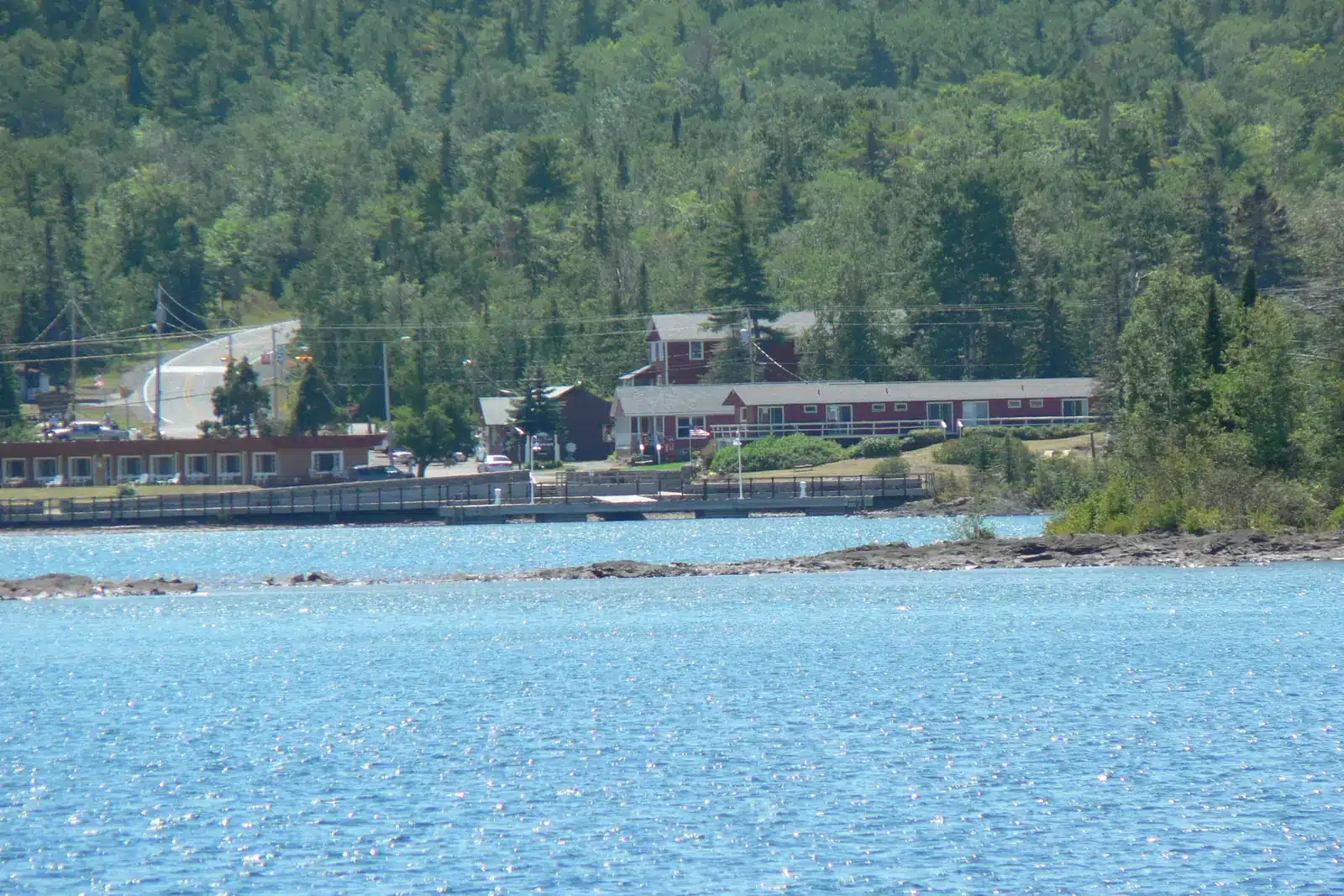
On this part of Lake Superior, most boat owners rely on a harbor or marina, and only some of those open directly onto the big lake. Know where your boat will live before you choose a lakefront home or lot.
The Michigan Department of Natural Resources (DNR) lists nine harbors and marinas in its state harbor network in Houghton, Keweenaw, Baraga, and Ontonagon counties. Copper Harbor and Eagle Harbor sit on Lake Superior itself, as do the L'Anse and Baraga marinas in Baraga County.
Big Traverse Bay Harbor is on the Traverse River within half a mile of Lake Superior. The Hancock and Houghton marinas are on Portage Lake, which the DNR classifies as more than 2 miles from open Lake Superior. The Ontonagon village marina is on the Ontonagon River, and Lac La Belle is an inland lake reached by a dredged canal, according to the NOAA Coast Pilot.
The Coast Pilot shows why harbors matter. Eagle Harbor's stone bottom doesn't hold an anchor well, and two reefs the Coast Pilot calls dangerous sit in its approach. Copper Harbor protects boats from frequent northeast and northwest storms, and the roughly 25-mile Keweenaw Waterway serves as refuge in the stormy fall. West of the waterway, Ontonagon Harbor is the only harbor of refuge along 79 miles of shoreline.
A private dock or boat lift on your own frontage needs a state permit from EGLE and a U.S. Army Corps of Engineers permit, so ask before assuming one is possible.
What to Check Before You Make an Offer on a Lake Superior Home
A few checks specific to Lake Superior belong on your list before you make an offer on a home or land in Houghton, Keweenaw, Baraga, or Ontonagon County.
- Look up the parcel in the state's MiEnviro map for a high risk erosion designation and its setbacks.
- Confirm the Lake Superior frontage and lot lines with a survey.
- Read a home's seller disclosure for flooding, drainage, well, and septic answers, knowing it skips erosion and doesn't apply to vacant land.
- Write septic and well contingencies into an offer on vacant land, and plan for a health department site evaluation.
- Ask the county road commission whether the road is a seasonal road.
- Ask about flood history and culverts, and test the well water.
- Plan where a boat will be kept, and remember that a private dock needs state and federal permits.
- Ask how the beach and bank looked in the high water years of 2019 and 2020.
Looking for Lake Superior Property? We're Here to Help
Browse the Lake Superior waterfront listings on this page, and if a home or lot in Houghton, Keweenaw, Baraga, or Ontonagon County raises a question, feel free to get in touch. At State Wide Real Estate of Houghton, we would love to work with you. Give us a call at 906-482-6955, and we will walk you through what you're seeing.